Bruce and Ethan's
Most Excellent
Colorado Adventure!
Page Six: Hot Sulfur Springs and Estes Park
Page One: Taos to Durango to Silverton * Page Two: Silverton to Ouray
Page Three: Jeeping Out of Ouray * Page Four: Salida * Page Five: Aspen
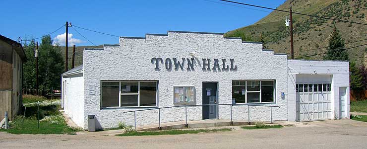
HOT SULPHUR SPRINGS
Elevation: 7,680 feet
Population: 703
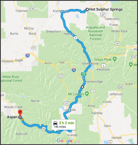
We left Difficult Campground driving back over Independence Pass back to Hwy 24 where we turned left or North. Our next destination is a town named Hot Sulphur Springs and a hot springs spa there that has the same name - Hot Sulphur Springs Spa and Resort. The town was established in 1860.
Wikipedia: "In 1863 the town site was bought by William Byers in a backroom deal with a Minnesota Sioux woman despite a treaty naming the Ute tribe as the lawful owners, who unsuccessfully sued Byers, while Byers and territorial governors William Gilpin and John Evans launched a "The Utes Must Go" campaign with the help of the U.S. Cavalry. Wishing to create a world-famous spa and resort ("the American Switzerland"), Byers changed the name and surveyed, platted, and named the streets, attracting famous visitors including Zane Grey and John Wesley Powell. The first pool house was built ca. 1900."
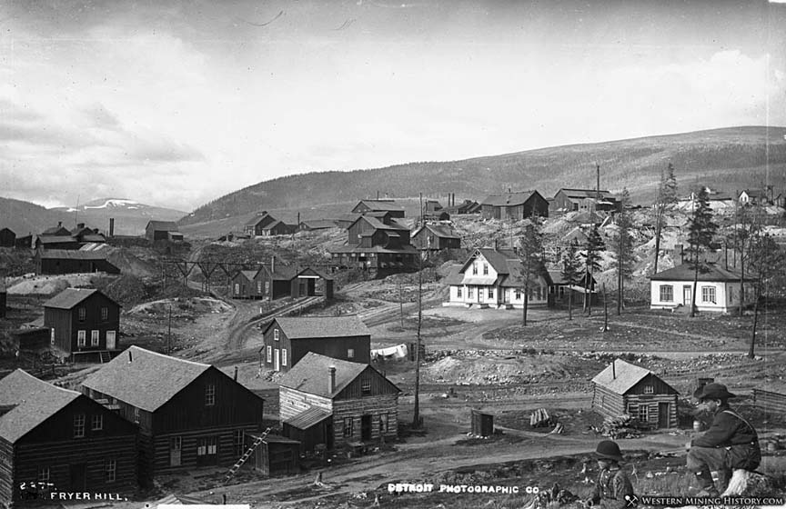
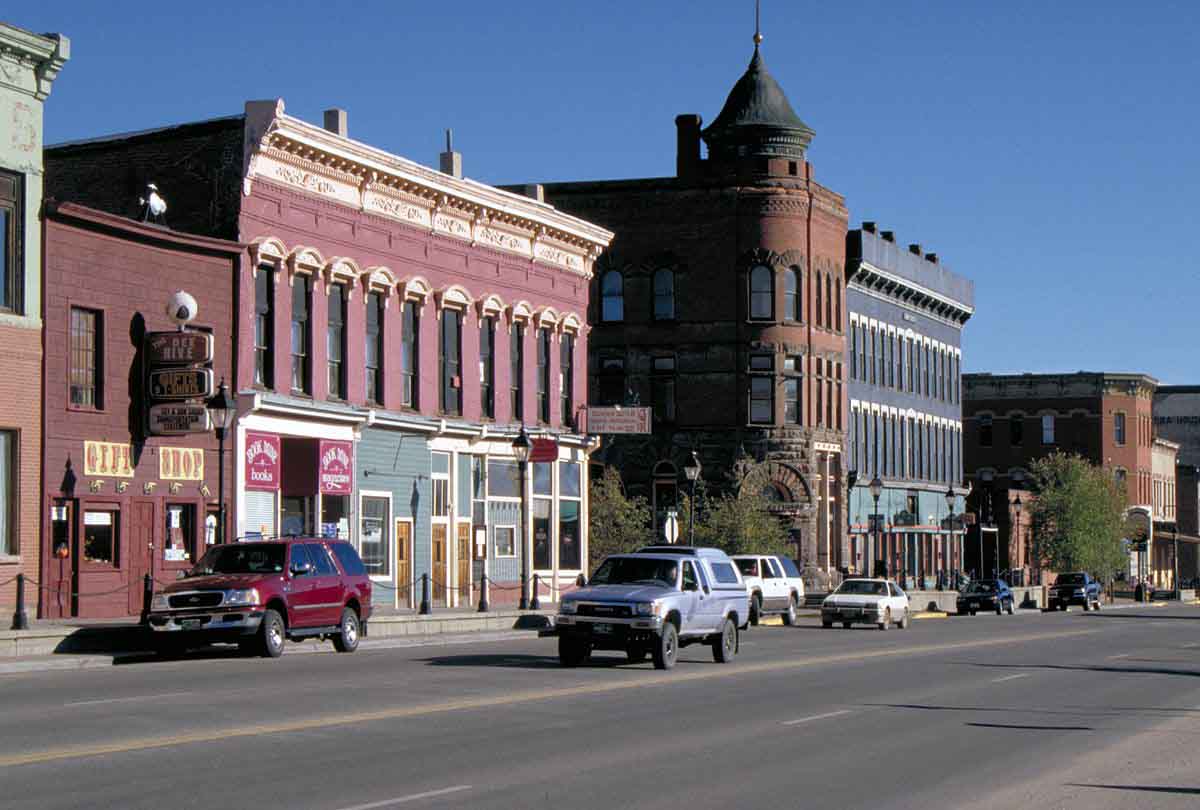
We stop and eat lunch in Leadville with a population of 2,602 folks and an elevation of 10,152 feet! You need good lungs to live in this town! It is the highest incorporated city in the US. The Wikipedia link for Leadville (just above) will reveal a fascinating past with Doc Holiday, Molly Brown (the Unsinkable Molly Brown), Poker Alice and others.
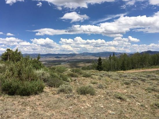
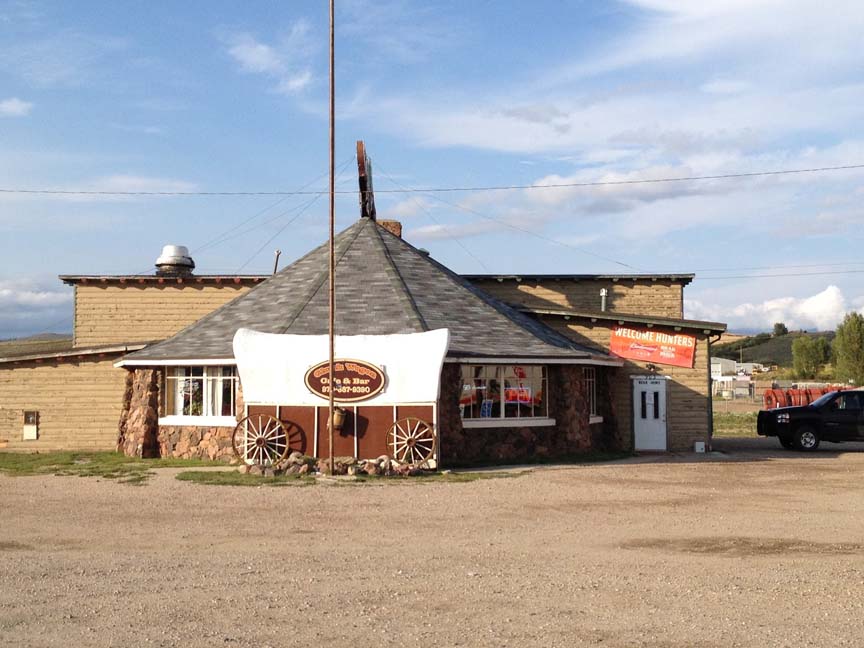
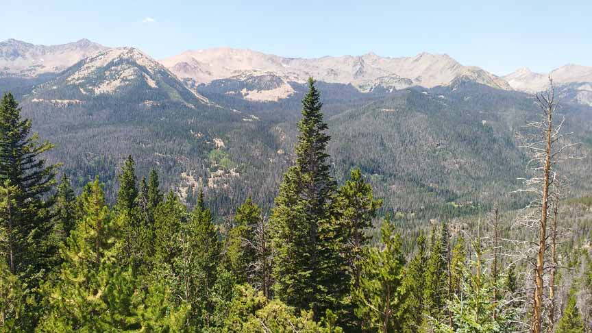
Continuing north we get on I-70 for a few miles then exit on Hwy 9 to continue north to Kremmling. There we turn right and it's not far to Hot Sulphur Springs. From I-70 north, the landscape became fairly flat and quite arid. This picture is typical.
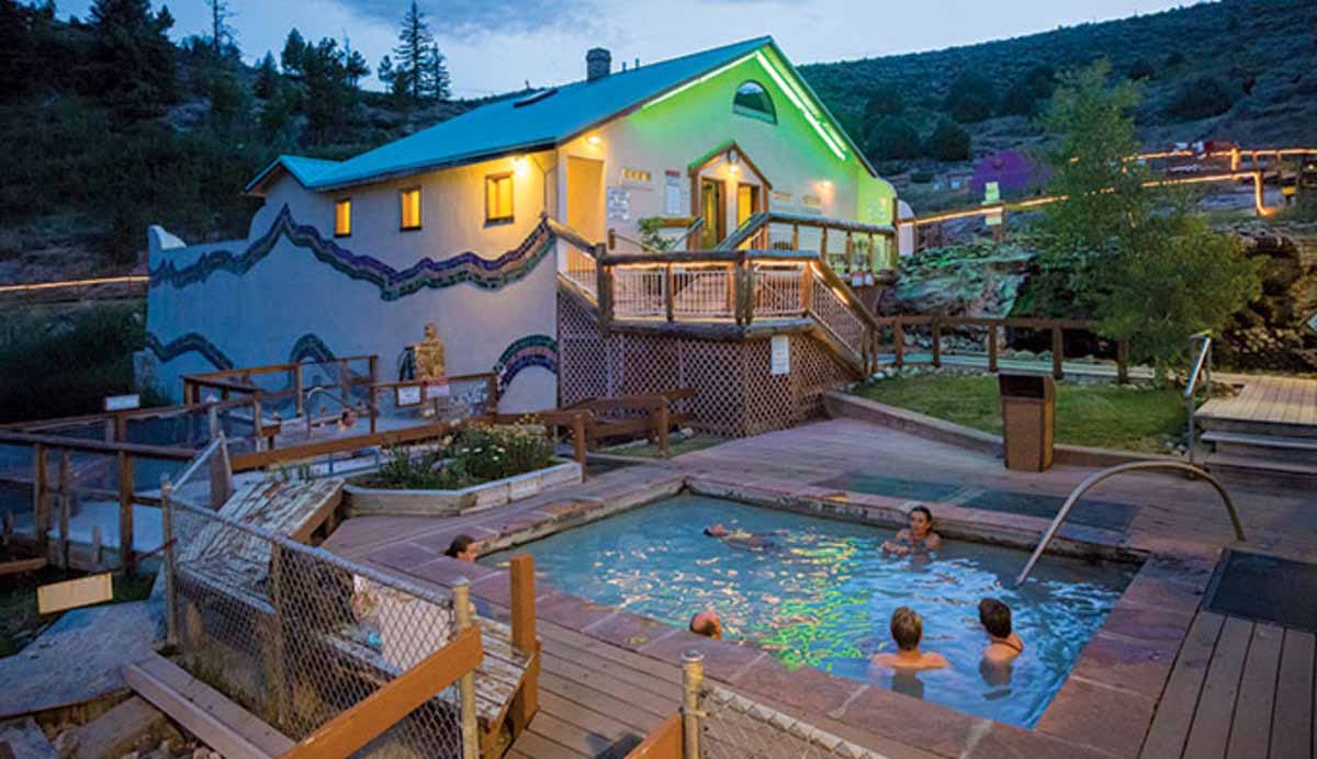
Finally we arrive at Hot Sulphur Springs! The resort has a motel and we had previously booked a night there. It had started to become mountainous as we approached this stop. Small town - 700 residents.
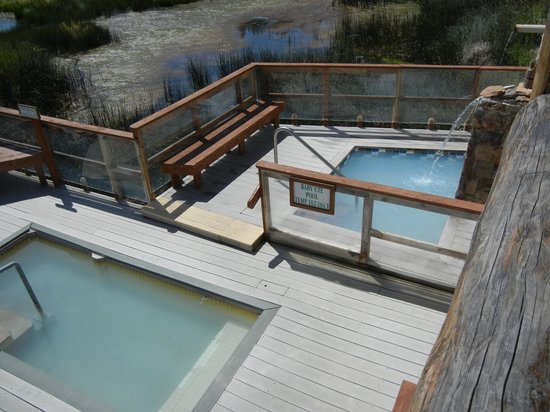
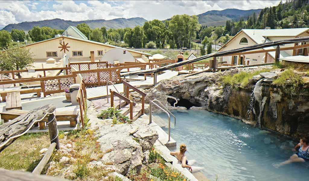
The hot springs resort itself has 8 or 10 different pools you can soak in. The smell of sulphur as very present but not overwhelming. Many other minerals are concentrated in this water which has been heated by the hot volcanic magma far below the surface of the ground. It is touted for its healing abilities. We both agreed we felt very relaxed and with a feeling of wellbeing after soaking. The water in most pools is 104 degrees F but there are a couple of pools that are a few degrees hotter.
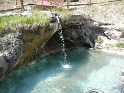
The next pool (next two pictures) is the one we liked the best because it has the waterfall and just feels more organic and natural with the rocks on one side.
We soaked in the afternoon after arriving and then we soaked again in the morning before we left. Our next destination is Estes Park. We will drive to Granby then take a left and head east on Hwy 34. There is a restaurant right at that turn and we stopped to have some hashbrowns with onion and greenpepper.
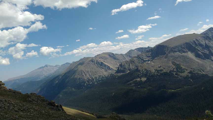
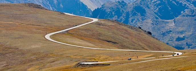
TRAIL RIDGE ROAD
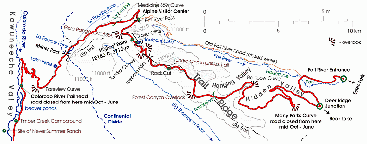
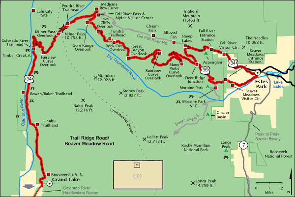
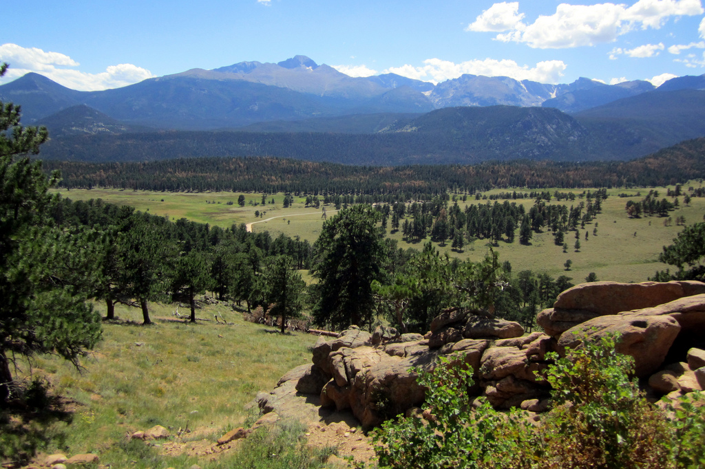
We are now on Hwy 34 and we are in for an unbridled scenic ecstasy called Trail Ridge Road. It goes through Rocky Mountain National Park and over a high pass - Milner Pass - which is, again the Continental Divide. This will make the third time we have gone over the Divide. From the Divide, water on the east flows east like the Arkansas River we surfed. On the west side the water flows west like the Colorado River. The headwaters of these great rivers start at the Divide. On the following two maps, we start on the left hand side and travel east.
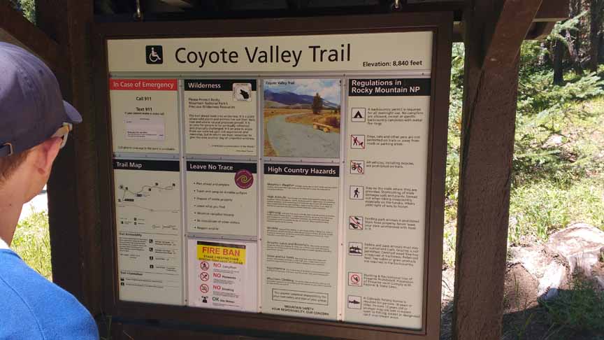
The road is very will kept with lots of trailheads featuring an abundance of explanatory placards. There is a fee of $25 for a day pass but we get in for free because of my national parks card.
We stopped a number of times before we began the climb over the pass. One of these was Coyote Valley Trail.
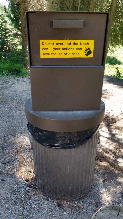
A trash can at the trail head which is bear proof. All the trash cans we saw in this part of the country were like this.
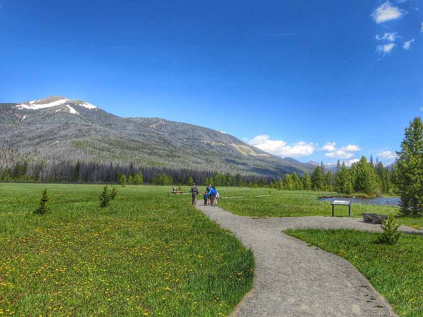
We walked down this trail which was in a galacial valley. To the right you can see a bit of the Colorado River which has only just been born a little ways upstream.
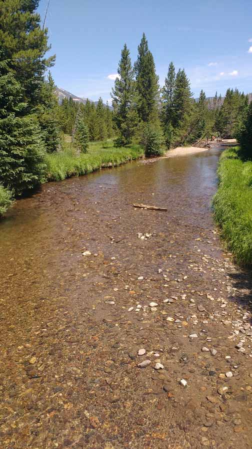
The Colorado River which is running through this galacial valley.
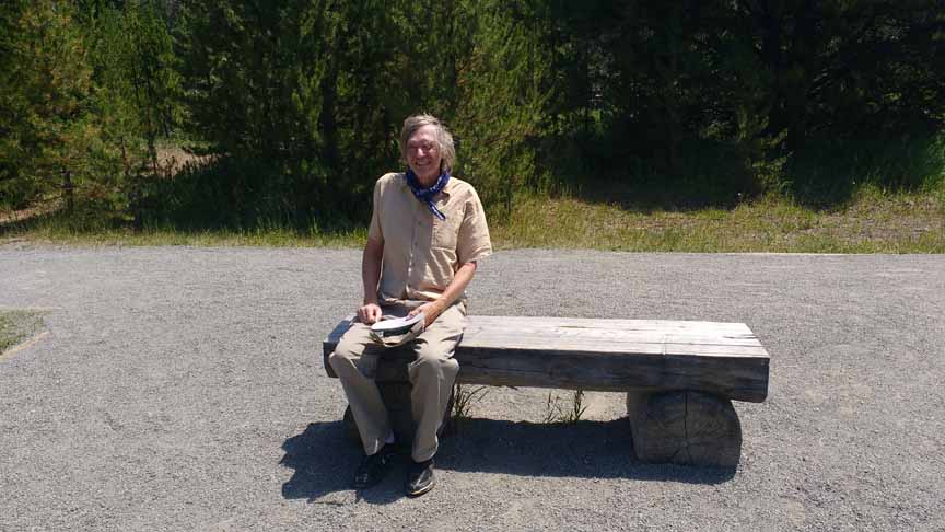
This trail is flat and has lots of places to sit and soak in the beauty. Say hi to Bruce!
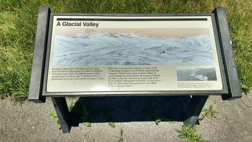
Historical and geological presentations were numerous and very interesting.
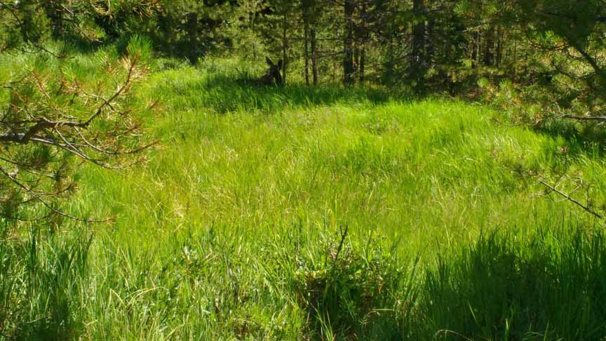
If you look closely you can see an elk lying in the grass toward the top of the picture and just left of center. Look for the ears. Maybe 10 or 12 people were there photographing her and she didn't seem to mind.
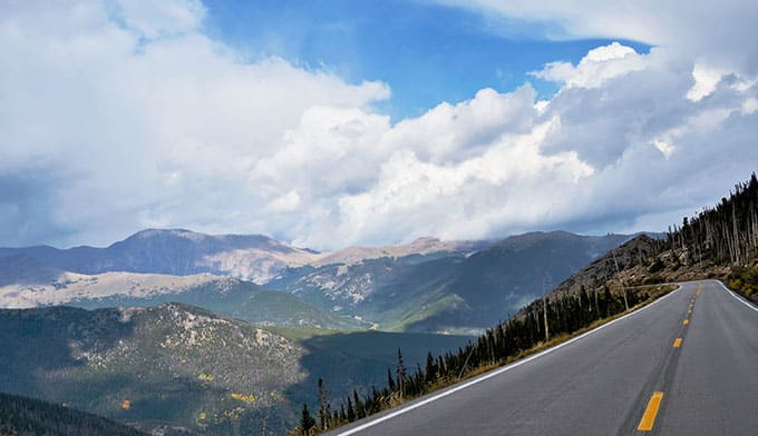
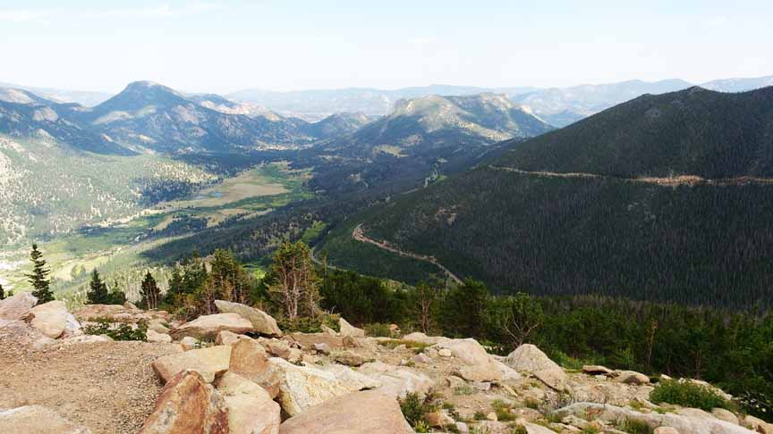
Starting to climb.
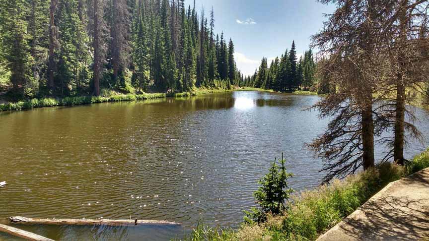
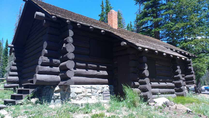
I little ways up into the mountains we pull out for this marvelous lake. There is a preserved log cabin there which you can see in the picture after this one.
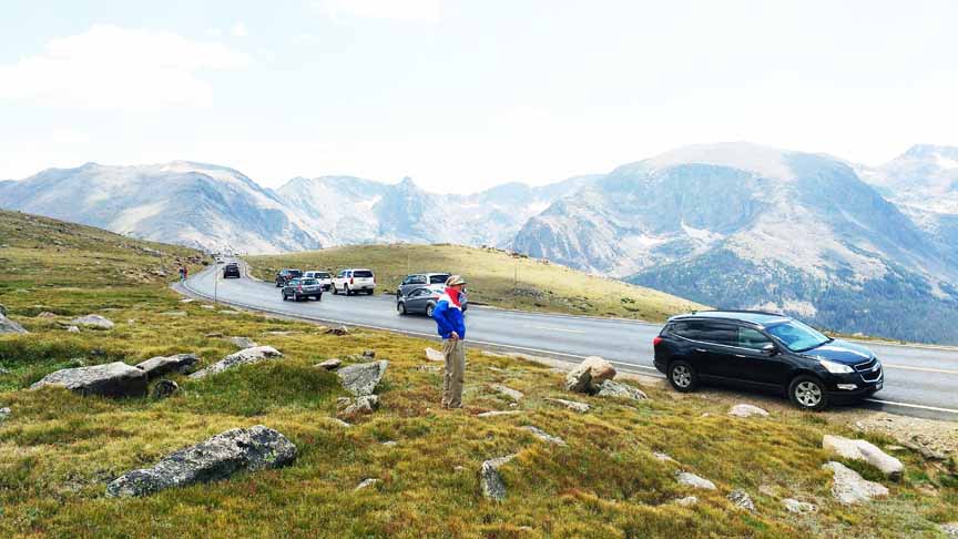
There is herd of elk just beyond the folks. There are a number of occassions where wildlife are available and people stop their cars, get out and take pictures.
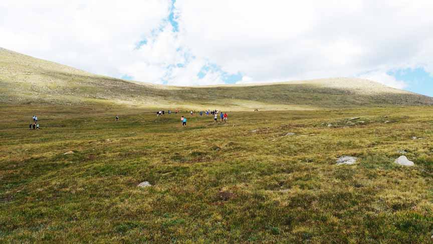
So we get out too!
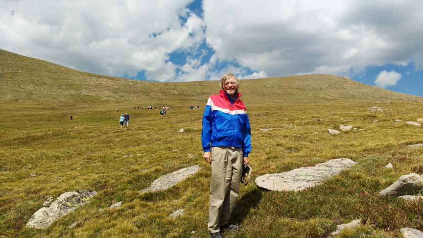
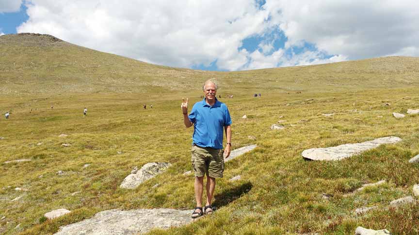
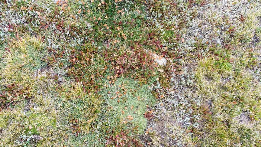
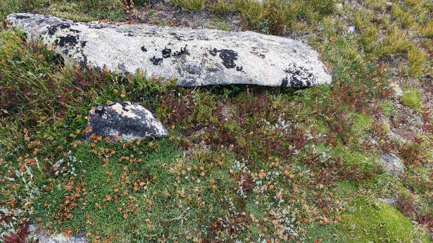
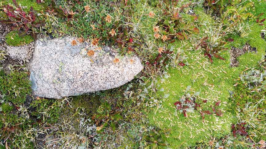
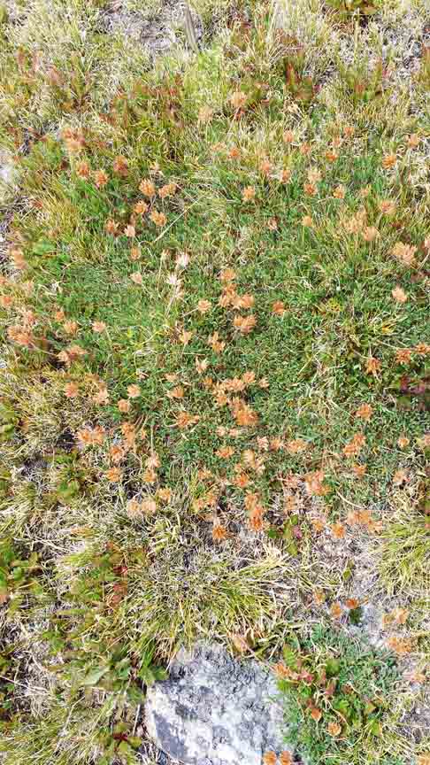
Where we are standing, the grasses and mosses are fabulous so here are a few pictures.
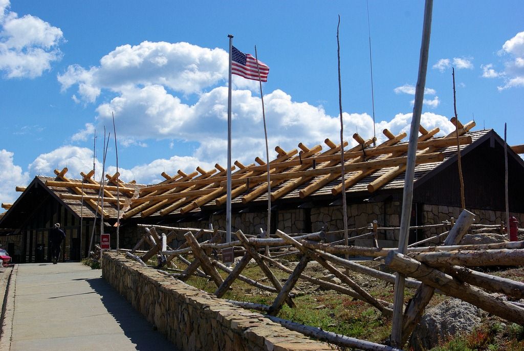
There is a store at the top of the pass. There is no power up here so it runs on a generator and propane. It is closed for much of the year as the pass is closed for winter. Notice the reinforcements on the roof to support the large snow loads.
On the way back down.
ESTES PARK
Elevation: 7,522 feet
Population: 5,858
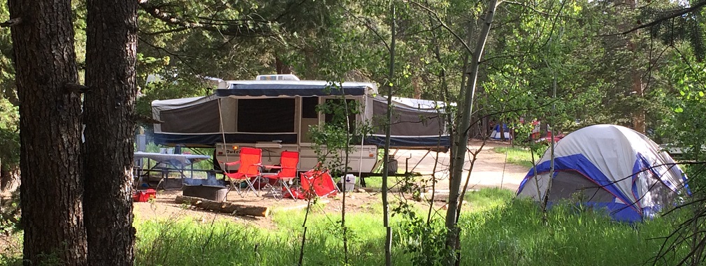
We drop into Estes Park at the other end of Trail Ridge Road and make our way to Mary's Lake campground. This is a privately owned and operated campground. We set up the tent decide to go hang out downtown.
Neighbors
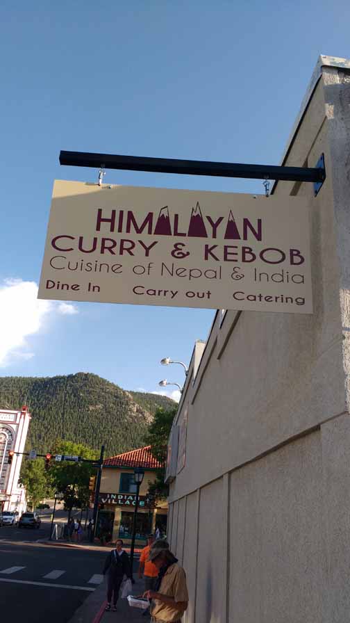
We had a great dinner at the Himalayan Restaurant. We are just leaving and you can see Bruce consulting his interdimensional map.
The next day we got up, made coffee, packed up and we were on our way home! We had spent 10 days on the road up to this point. At Amarillo, after about 10 hours of driving, we stopped at a motel and then continued home the next day.
CONGRATULATIONS!
You made it all the way to the end! I hope you have enjoyed this travel log!
If you feel like browsing through some very interesting books written by Ethan, click the link below.
Go to
Page One: Taos to Durango to Silverton
Page Three: Jeeping Out of Ouray